
NASA’s computational tool calculates the effect glacial ice melt will have on your city
When temperatures warm, ice sheets melt. When ice sheets melt, the sea level rises. Sounds simple enough. But, in reality, determining the effects of ice sheet melt on rising sea levels is far from simple.
Sea level doesn’t change uniformly across the globe. In fact, glacial ice melt could lower sea-levels for some cities.
According to NASA, seas have risen an average of nearly 7.6 centimeters (3 inches) since 1992. Some areas have seen an increase of more than 22.8 cm (9 inches) during the same time period.
“Global sea levels may rise by more than six feet by 2100,” stated Time Magazine. With the increase in sea level forecast to go from the centimeters observed in the past decades to being measured in terms of meters, the ability to accurately determine the impact of the impending rise in sea level takes on new importance.
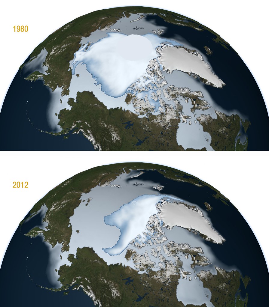
Image Credit: NASA
Sea level increases of this magnitude would be catastrophic, both in financial terms and in the displacement of hundreds of millions of people from densely-populated coastal areas. But when the increase can be three times higher in one location than in another, how can local leaders accurately assess and plan for future risk?
Why sea-level rise varies from location to location
Glaciers are so large that changes in their mass have gravitational effects. The changes, such as decreased mass from melting, push and pull the water from ice-covered areas to different parts of the globe. The distribution is not uniform. In addition to gravitation effects, factors such as the spin of the earth and ocean currents can cause larger increases in sea level for some cities.
A team of scientists at NASA’s Jet Propulsion Laboratory developed a computational tool called Gradient Fingerprint Mapping that predicts how water from ice melt will distribute across the globe. The team, led by Dr. Eric Larour, found that source of the ice melt impacts which cities will be most affected by rising sea-levels. Their research was published in Science Advances magazine.
Instead of determining how ice melt from a particular glacier affects cities around the world, the team posed the question in reverse: for any of the 293 global port cities, how will each source contribute to sea-level increases?
“We are walking backward, reverse-engineering the change in mass that would be responsible for sea level at a coastal city,” Larour told Scientific American. “And this is city-centric, which is much better for a coastal planner.”
The Gradient Fingerprint Mapping tool is available online and can be used by coastal planners to determine the source of ice melt that most affects their city. The simulation tool is based on the Ice Sheet System Model (ISSM), which models the evolution of the polar ice caps in Greenland and Antarctica.
The tool uses NASA satellite data sets and supports various APIs. It is script-driven and uses MATLAB executables to preprocess the NASA data sets onto the modeling grids. The data is triangulated to create a finite element model for simulation. MATLAB is also used for post-processing the results.
“We can compute the exact sensitivity – for a specific town – of a sea level to every ice mass in the world,” Larour told BBC News. “This gives you an idea, for your own city, of which glaciers, ice sheets and ice caps are of specific importance.”
For example, London will be affected by melting in the northwestern section of the Greenland ice sheet. New York has more reason for concern if the ice melt originates from the northeastern portion of the same ice sheet.

MATLAB image of Gradient Fingerprint contribution from Greenland Ice Sheet for London. Image Credit: NASA JPL.

MATLAB image of Gradient Fingerprint contribution from Greenland Ice Sheet for New York. Image Credit: NASA JPL.
For each city, the tool pinpoints the specific portions of the ice sheet that will cause the sea level rise.
But the computational tool also shows areas where the melting ice would have an unexpected result: a decrease in sea-level. While Mumbai, India would see an increase 1.02 meters (3.34 feet) if global sea levels rose by 1 meter (3.2 feet), Clyde River, Canada would see sea level decrease by 1.06 m (3.47 feet) due to its proximity to Greenland.
See how your coastal cities will fare
If you’d like to see how coastal areas in your area would be affected by a 1-meter global increase in sea level, go to the interactive calculation at the end of the CNN report, GLOBAL WARNING: Greenland’s melting glaciers may someday flood your city.
Not all of the projected increases in sea level are due to ice melt. Warmer temperatures also expand water, adding to the higher water levels. The visual tool in the CNN report also shows what percent of the increase for each location is attributable to ice melt.


Comments
To leave a comment, please click here to sign in to your MathWorks Account or create a new one.