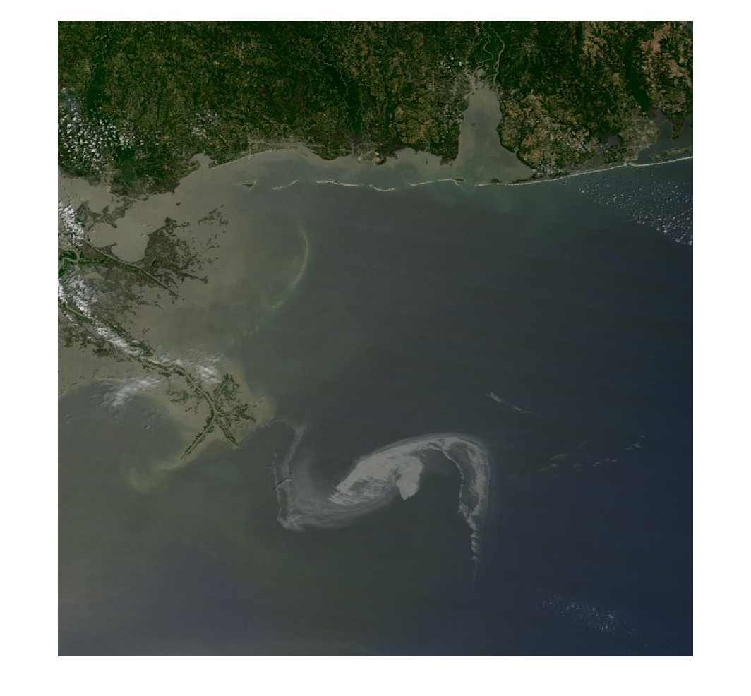
Advanced: Loading, filtering and displaying geographic data with the Mapping Toolbox.
This short video uses the Mapping Toolbox to load in the state boundaries in a given area and display them on a special map axis. Random points are also generated and filtered based on their location.


댓글
댓글을 남기려면 링크 를 클릭하여 MathWorks 계정에 로그인하거나 계정을 새로 만드십시오.