This short video makes a 2d histogram as an alternative to plotting data points and visually estimating where the most data is. if (typeof(playerLoaded) === ‘undefined’) {var playerLoaded =… read more >>

This short video makes a 2d histogram as an alternative to plotting data points and visually estimating where the most data is. if (typeof(playerLoaded) === ‘undefined’) {var playerLoaded =… read more >>

Very often MATLAB user will write in and we figure out that they are trying to reinvent a dialog that already exists. I quickly go through and show the most useful dialogs in MATLAB. if… read more >>
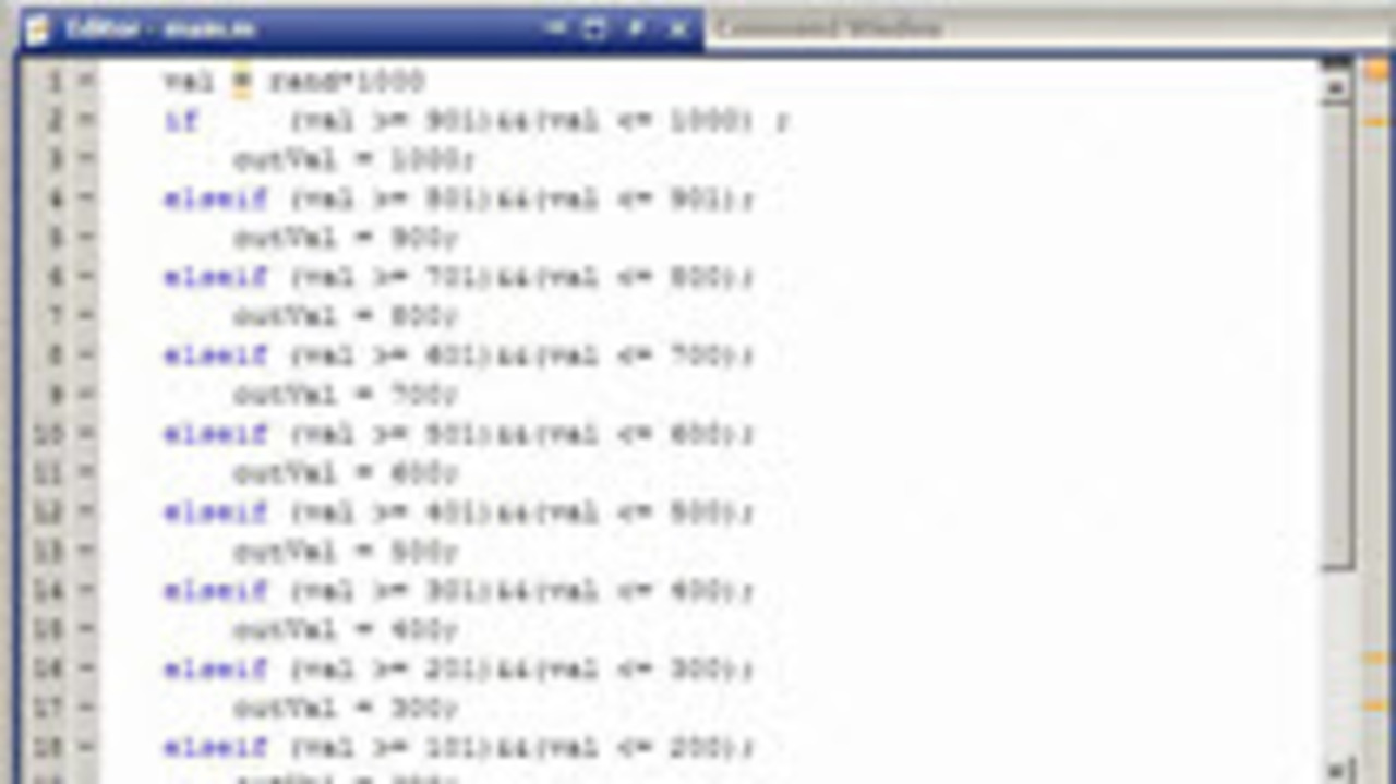
This short video shows how a switchyard of if/elseif statements was converted to a simple formula. Testing of this refactoring was also done. if (typeof(playerLoaded) === ‘undefined’) {var… read more >>
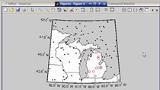
This short video uses the Mapping Toolbox to load in the state boundaries in a given area and display them on a special map axis. Random points are also generated and filtered based on their… read more >>
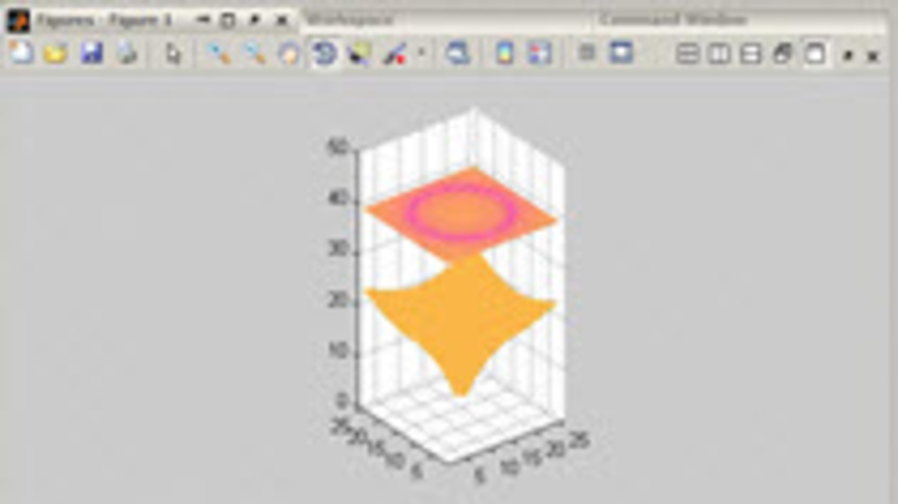
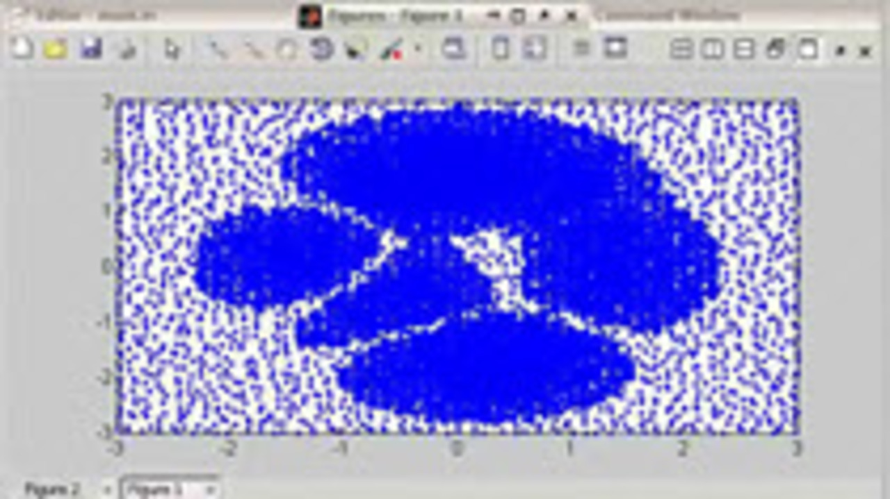
A MATLAB user recently asked how we could make a visualization similar to this one. I was a little surprised that we were able to do the visualization, with interactivity in less that 15… read more >>
This short video is the final of a series of nine that talks about volume visualization. Patrick gave this talk internally to help technical support engineers understand capabilities of MATLAB for… read more >>
This short video is the eigth of a series of nine that talks about volume visualization. Patrick gave this talk internally to help technical support engineers understand capabilities of MATLAB for… read more >>
This short video is the seventh of a series of nine that talks about volume visualization. Patrick gave this talk internally to help technical support engineers understand capabilities of MATLAB for… read more >>
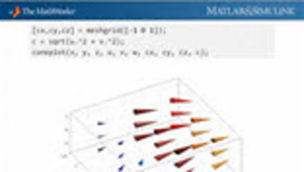
This short video is the sixth of a series of nine that talks about volume visualization. Patrick gave this talk internally to help technical support engineers understand capabilities of MATLAB for… read more >>
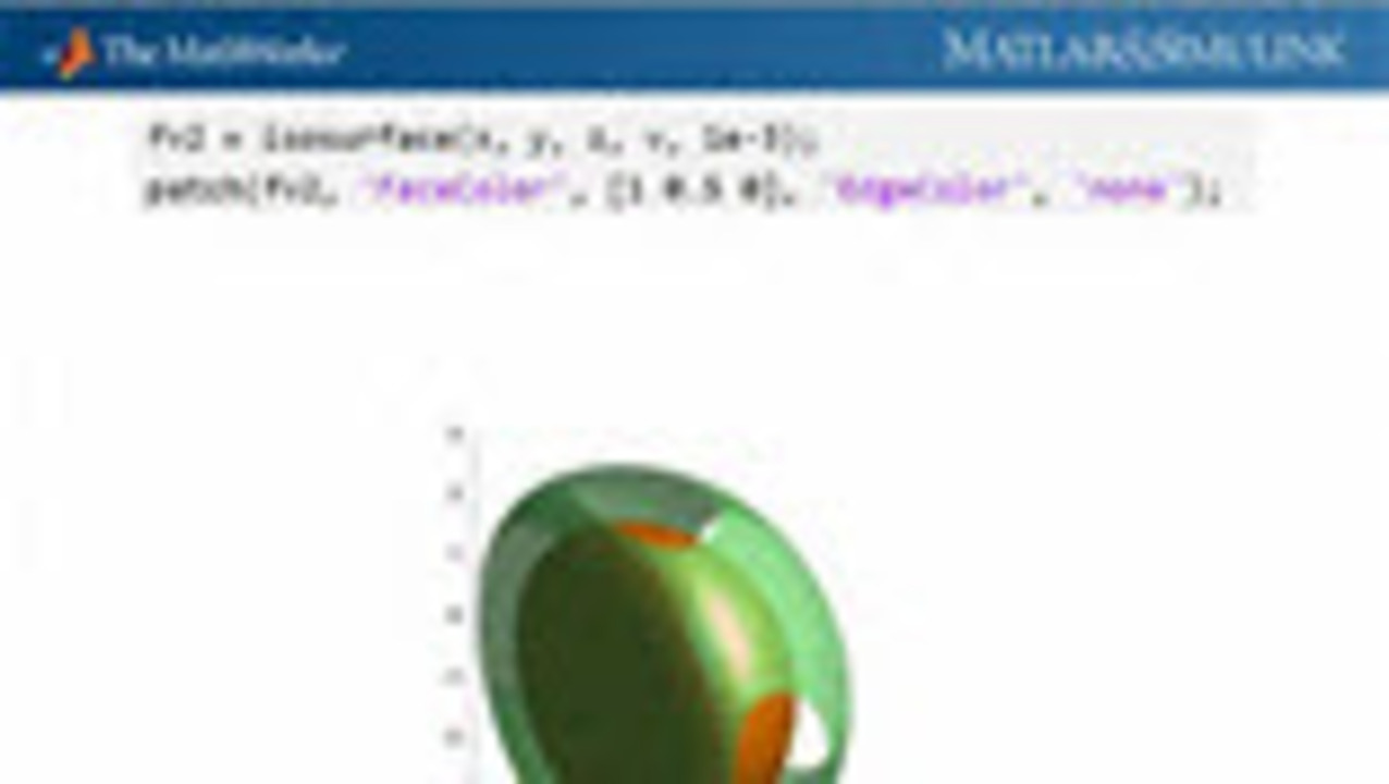
This short video is the fifth of a series of nine that talks about volume visualization. Patrick gave this talk internally to help technical support engineers understand capabilities of MATLAB for… read more >>